
Map of Reserve area
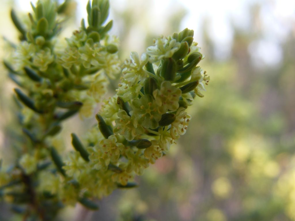
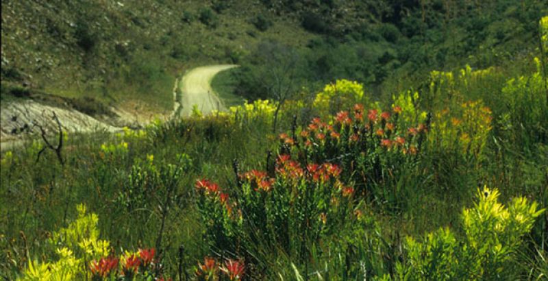
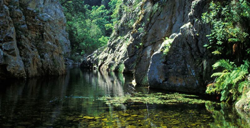
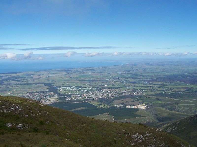
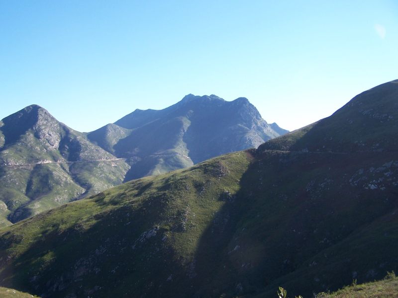
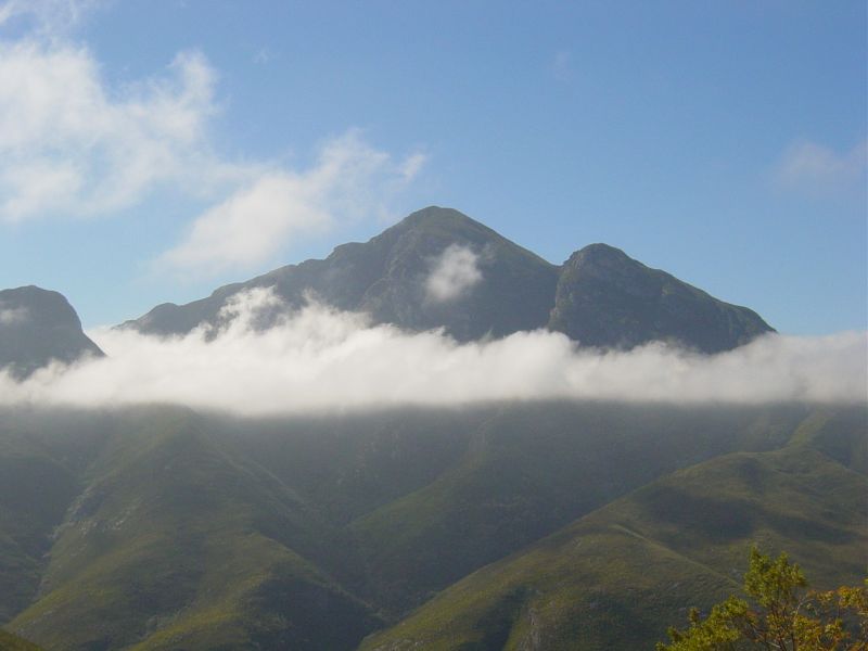
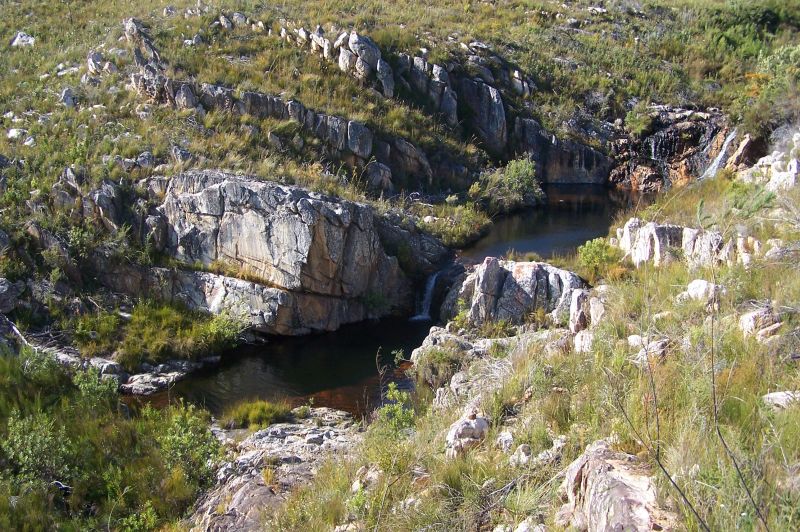
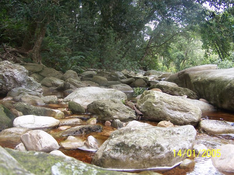
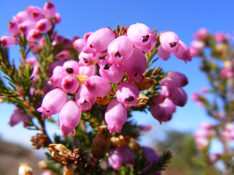
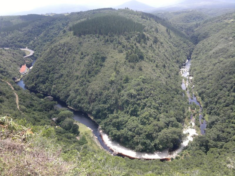
The name Outeniqua is believed to mean “those who bear honey” and is ascribed to the San and Khoi people who once inhabited the mountains. Their rock paintings are found throughout the reserve, depicting animals, hunters and honeycombs. The rugged mountains have long posed a barrier into the Klein Karoo and early settlers in the late 1600s used to follow herds of elephants to find easier ways through the area. The first pass, the Cradock Pass, was built in 1813, but was too steep for many to climb with ox-wagons. The Montagu Pass built in the mid-1800s eventually proved a safer and quicker option. This is a popular walking and hiking destination. Unfortunately there is no overnight accommodation.
Easy to use trail maps for this reserve created by Forge can be downloaded here.
How to Get There
From Cape Town: Take the N2 highway towards George and travel for about 465km. Once in George, follow the signposts for the N12 towards Oudtshoorn. Travel for 4km along this road, then turn right towards Witfontein and right again into the Outeniqua Nature Reserve.
GPS: 33 56 08.0 S 22 25 38.4 E
General information
Office hours: 07:30–16:00
Tel: 087 087 4151
Accommodation and permit bookings Tel: 087 087 8250
Adults
Free
Children
Free

Visitors Gallery


Other Reserves Nearby
