
Map of Reserve area
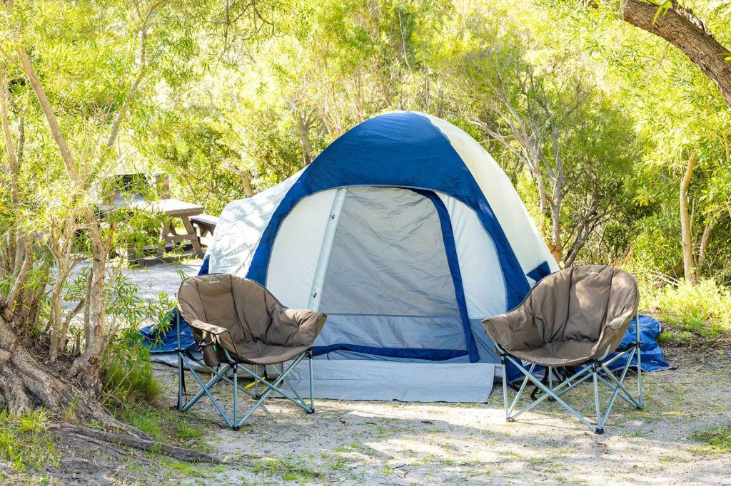
Where to Stay

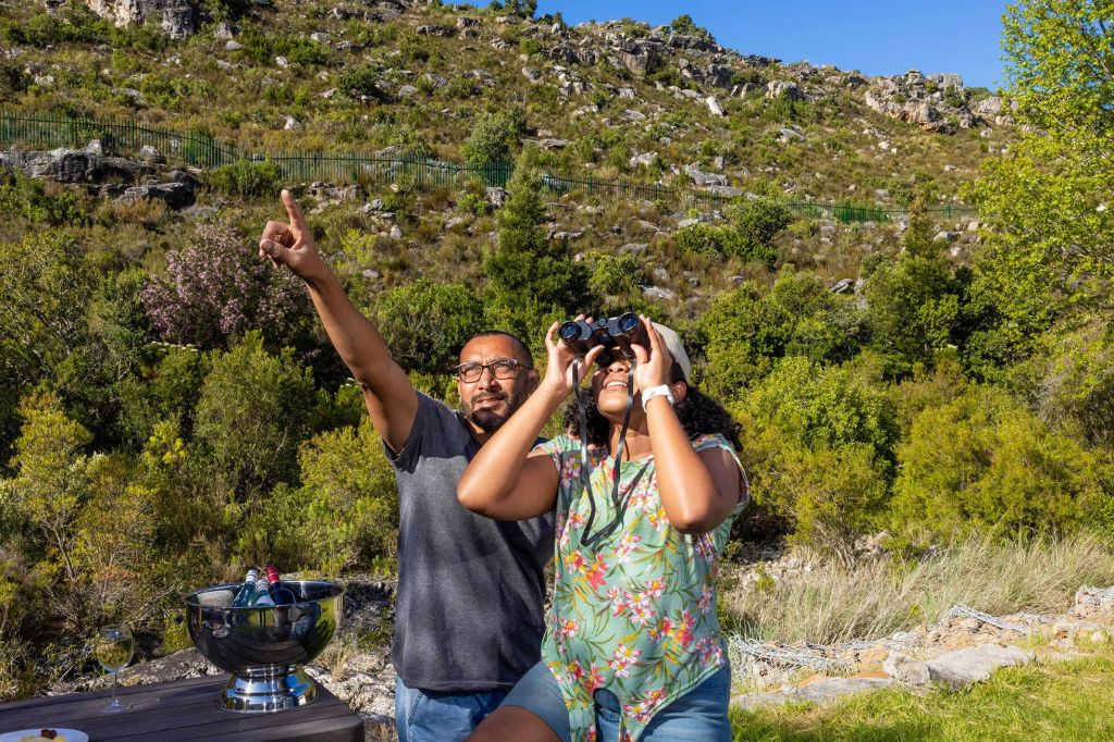
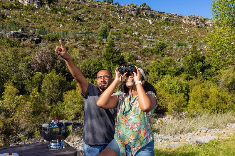
What to Do
Limietberg has various walks and hikes, taking you through mountain trails with stunning views, clear pools, and historic sites and monuments. Download a comprehensive map of the hiking trails at Limietberg.
Limietberg has a variety of hiking trails that allow visitors to explore the reserve’s pristine beauty. Please note that these trails are only for the use of campers, not picnickers. Do not deviate from footpaths or take shortcuts through the veld, as this damages the vegetation and causes erosion.
Help us protect nature
No pets/no firearms/no fires except in designated areas/no collecting of firewood/no littering – use the bins provided/no music, rowdiness or hooliganism.
Permits
Permits are available at R50 per adult and R30 per child. Permits may be purchased at the reserve office or bookings can be made through CapeNature Central Reservations.
Trail preparation
- Wear comfortable walking shoes, sunscreen and a hat.
- Do not hike alone.
- Carry enough food and water with you.
- Make sure you know what the weather conditions are before you depart.
- Take a warm jacket/raincoat in winter.
- Make sure you have a relevant map of the area.
- Take a field medical kit with you for emergencies.
- Obey all signage.
- Stay in a group and on the trails.
Easy to use trail maps for these hiking trails created by Forge can be downloaded here.
Bobbejaans River Trail
Trail distance: 8km
Estimated time: 6 hours
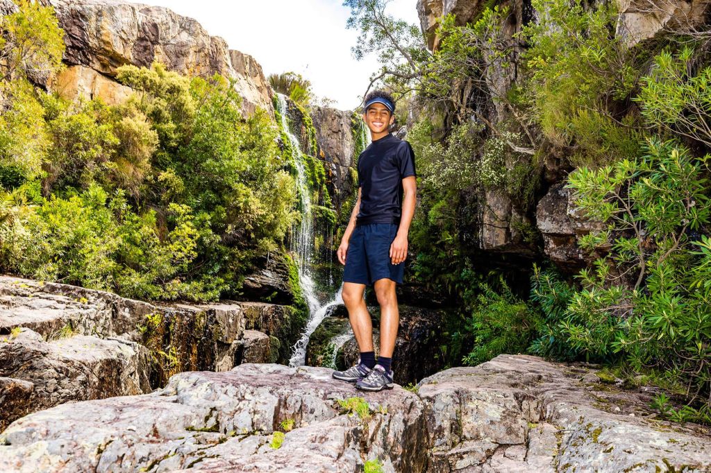
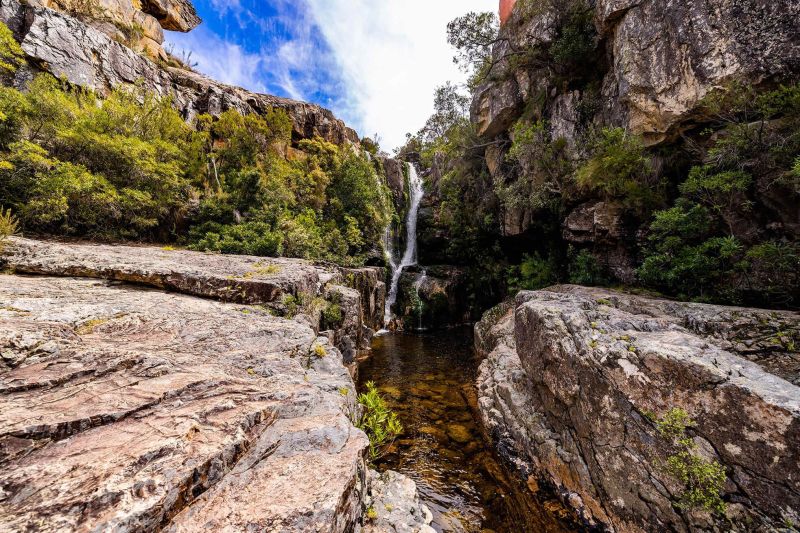
This scenic trail starts at the Bainskloof Corner Lodge parking area, near De Nek. It winds across the Bobbejaans River, a tributary of the Witte River. After about 3.5km, you can plunge into the river’s inviting mountain pools (remember to bring your costume). The final steep ascent leads you to a stunning three-tiered waterfall. This trail is particularly beautiful in summer when the colourful disas and giant proteas are in bloom. The Witte River is difficult to cross in winter after heavy rainfall.
Happy Valley Trail
Trail distance: 9km
Estimated time: 6 hours
This easy walk is ideal for families and beginners. It starts in Bainskloof at Eerste Tol, leading up a jeep track past the ruins of an old house and a monument commemorating the 1895 Witte River disaster. Remember to bring your costume so you can take a break and enjoy the many beautiful rock pools along the way. The secluded Junction Pools, where two rivers meet, is at the end of the route. Return on the same path. Rivers may be full in winter.
Krom River Trail
Trail distance: 7km
Estimated time: 5 hours
This easy, popular trail starts in Du Toitskloof, immediately to the left after the Worcester exit of the Huguenot Tunnel. Permit holders can park at a fenced parking area about 700m after the tunnel, on the left side of the road.
The trail winds back towards the tunnel. A sign beneath the two bridges shows you where to go. The trail crosses the Krom and Molenaars rivers. After crossing Krom River, the vegetation becomes dense at the top end of the kloof. The path to the Krom River waterfall is about 2.5km. The last section of this path is surrounded by indigenous riverine forest.
After the first waterfall, hikers will come to the second, truly spectacular, waterfall and large plunge pool (remember to bring your costume). Climbing between the first and second waterfalls can be tricky – we suggest that hikers carry a rope. This may be inaccessible in winter after heavy rains, when the river is difficult and dangerous to cross.
Eland River Trail
Trail distance: 7km
Estimated time: 5 hours
This easy-to-moderate trail is an ideal winter's day hike. It starts in Du Toitskloof, immediately to the left after the Worcester exit of the Huguenot Tunnel. Permit holders can park at a fenced parking area about 700m after the tunnel, on the left side of the road.
The trail heads back towards the tunnel. A sign beneath the two bridges will show you where to go. From there, it is about 3.5km (two hours) to the boundary of the conservation area. The start of the hike is quite difficult, as the path has been cut out against a very steep slope. But it’s worth the effort – after this section the route winds along the beautiful river, with some high areas offering panoramic views of the valley.
As the trail leads towards Fisherman's Cave, the vegetation becomes quite dense. From this overhang, the path follows the river for another 0.5km to the boundary, before ending abruptly against steep cliffs. Please note that hikers should not go further than this point as they will be trespassing on private land. Angling is allowed with the appropriate freshwater permit.
Rockhopper Trail
Trail distance: 8km
Estimated time: 6 hours
This moderate-to-difficult trail in Bainskloof is for the fun-loving and adventurous hiker. The trail involves rock hopping, swimming and finding your own way down a boulder-strewn riverbed. Although most of the water obstacles can be avoided, hikers will have to wade through a pool near Tweede Tol.
The trail starts at Eerste Tol in the Bainskloof Pass. It follows the Witte River and ends at the Tweede Tol picnic site, where you can enjoy a well-deserved lunch! It is a linear trail, so hikers will need a car at the start and another at the finish. The route is not open when the river is too full. Hazards include volatile weather, slippery rocks, wind and ticks.
Guests must obtain a gate code from the booking office and confirm their booking for the specific trail at least 48 hours prior to the hike. Permits are also sold at the McBain’s Lodge, a walking distance from the trail entrance.
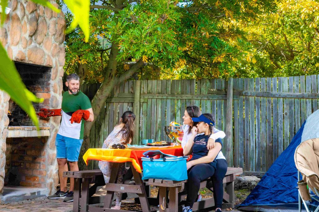
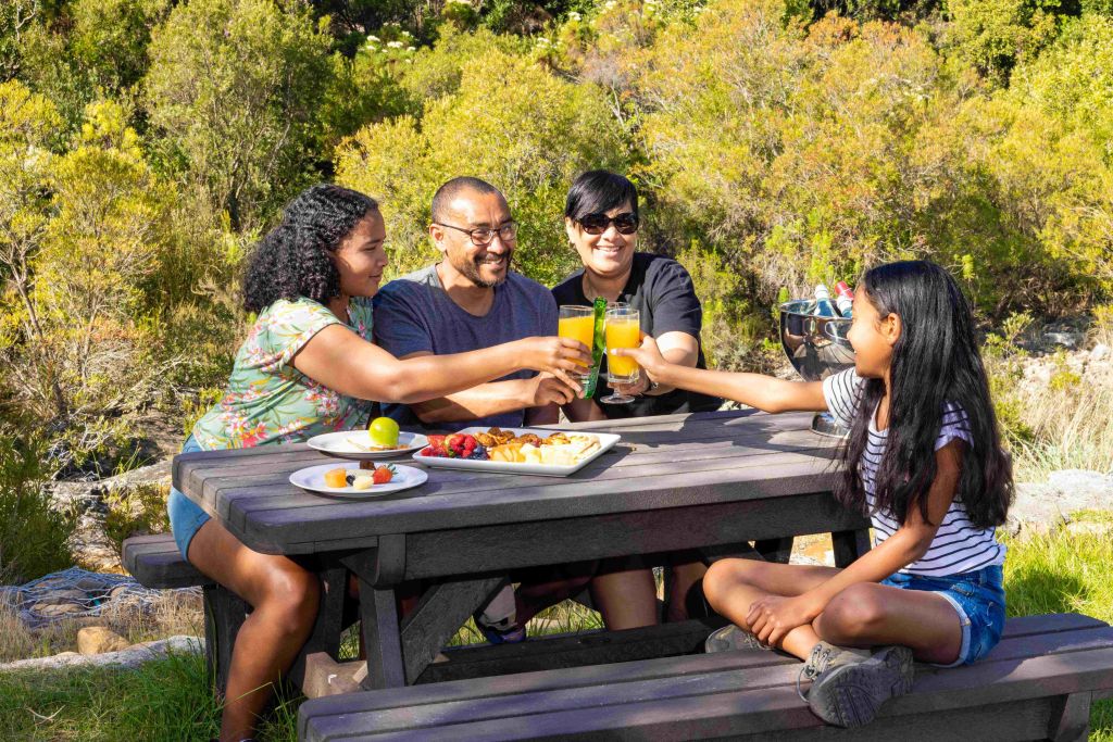
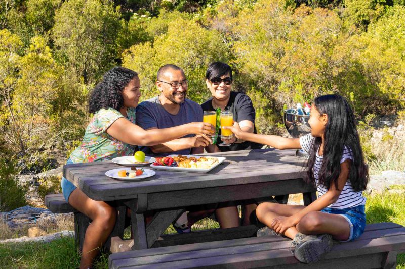
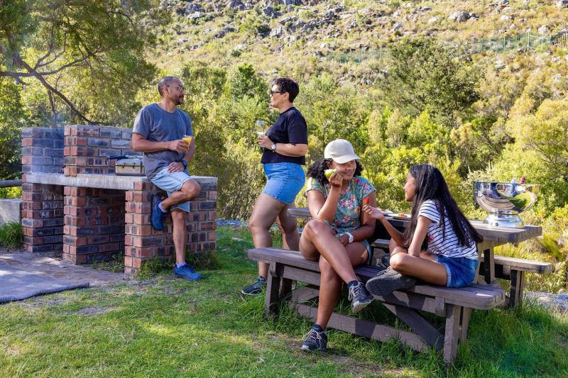
Tweede Tol is a popular picnicking spot where day visitors can soak up the sun and play in the Witte River rock pools. This area can accommodate up to 120 visitors per day on a first-come-first-served basis. Bookings should be made in advance to avoid disappointment. It's recommended to get there early to avoid disappointment! Gates are open from 08:00 to 18:00, and toilets are available. Please note that the hiking trails are for campers only.
There are many swimming holes tucked away in the mountains, including the Witte River and Wolwekloof pools. Please ensure you have a valid permit. Note that eating, drinking and diving are not allowed at any of the swimming holes. Kids should be accompanied by an adult at times.
Limietberg is a pristine nature reserve tucked away in the Du Toitskloof Mountains, near Paarl. The reserve stretches from Franschhoek in the south, eastwards towards Groot Drakenstein, and northwards as far as Voëlvlei Dam and is a World Heritage Site.
Some 102 000 ha of fynbos-covered mountain slopes, challenging cliffs, and indigenous river valleys make up the Limietberg Nature Reserve. It stretches from Franschhoek in the south, to the Klein Drakenstein mountains in the east and the Elandsberge in the north, and forms part of the greater Boland mountain range. The area is an important water catchment for the Breede and Berg Rivers. The catchment also feeds the Wemmershoek, Stettynskloof and Brandvlei dams.
Limietberg offers a number of beautiful hikes through steep kloofs and deep valleys. Du Toits Peak, at 1 996m, is the highest point within the reserve. Visitors can also visit the many historical sites along the trails, including ancient rock art, a disused manganese mine and the graves of convicts who helped build the Bainskloof Pass.
The reserve gets extremely hot and dry in summer, but in winter the high mountain peaks are capped with snow. When visiting Limietberg, please check the weather forecast, as hikers can get caught in unpredictable and dangerous conditions.
Small antelope, baboon and the occasional caracal and leopard occur. You may also be lucky enough to spot endemic birds such as the Cape sugarbird and the protea canary, as well as the majestic black eagle. Three endemic fish species are increasingly threatened by alien trout fish that were introduced prior to the establishment of the reserve.
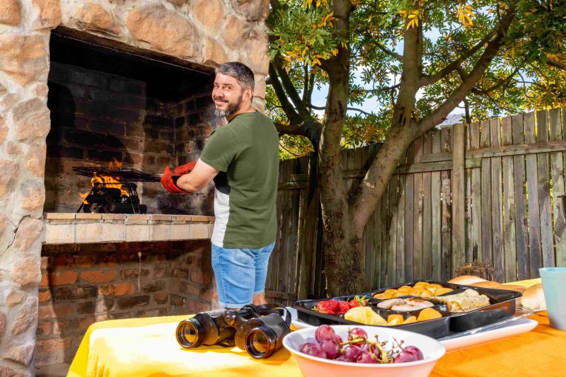
Tweede Tol is a perfect spot for braai and picnicking, but to avoid disappointment we suggest you come early, as day visitors are limited to 120 people per day.
To find out more, and for a detailed breakdown of the campsite, download the Limietberg Nature Reserve and Tweede Tol campsite brochure and map below.
How to get there
From Cape Town: Take the Klapmuts/ Wellington turn-off on N1. Turn left and drive for 20km until you get into Wellington. At the third set of traffic lights, turn left into Piet Retief Street and then right at the next set of traffic lights into Church Street. This will lead you into Bainskloof Pass towards Worcester. Tweede Tol will be on your left, about 16km from the Bainskloof Pass signboard, outside Wellington. Drive cautiously as the road through the pass is narrow.
Alternative Route:
Traveling from Cape Town towards Paarl through the Huguenot tunnel towards Worcester. Approximately 15km after exiting the tunnel, turn right towards Rawsonville (Landmark weight bridge on the left corner), carry on straight (Landmark wine farm on the right), turn left onto the Slanghoekroute and keep straight until you reach the end of the route, turn left onto the R43 direction towards Ceres. After approximately 3km, turn left onto R301 Bainskloof pass keep straight until you have reached Tweede Tol on the right and side.
Baboon Awareness:
- Do not feed the baboons.
- Don’t leave any food within sight of baboons.
- Close all windows and doors whenever you leave your campsite.
- When picnicking or camping, store edibles in your car boot and not in tent.
- Do not confront baboons or try to take items away from them.
Office hours: 08h00 –16h00
Please report to reception on arrival.
Check-out time: 11h00
Check-in times for overnight guests, are strictly: 14h00 to 16h00
Tweede Tol Tel: +27 (0)87 087 4145
Limietberg office Tel : +27 (0)21 871 1535
Accommodation and permit bookings Tel: 087 087 8250


Enjoy a relaxing camping experience starting at only R200 per night. Take advantage of our exciting river rafting, picnicking, and day hike activities, all available from just R50.
Adults
Day Access = R50; Overnight fee = R40
Children
Day Access = R30; Overnight fee = R20


Limietberg Nature Reserve Filming
Limietberg Nature Reserve forms part of the Boland mountain range and stretches from Franschhoek in the south towards Groot Drakenstein in the east and northwards as far as the Voëlvlei dam, covering an area of some 117 000 hectares.
Visitors Gallery


Other Reserves Nearby

Jonkershoek Nature Reserve
View reserve