Freshwater and Integrated Catchment Management
Several initiatives have been established to mitigate increasing impacts on the freshwater ecosystems within the WCP. Concerning the protection of certain ecosystem services provided by freshwater ecosystems for water provision for instance, focus has shifted to improved and informed management and protection of the Strategic Water Source Areas for both ground and surface water. Paired with this are the projects and initiatives associated with the Greater Cape Town Water Fund (The Nature Conservancy, 2018) and other Water Fund catchments that are being considered.
These, together with more established initiatives are working on the improvement and integration of freshwater ecosystems management in the WCP (e.g. Working for Water and Working for Wetlands, the Berg River Improvement Plan). Work towards clearing the water catchments of invasive alien tree species (IAS) as well as the rehabilitation of freshwater ecosystems (Western Cape Government, 2012; Western Cape Government, 2017) has received increased attention. Moreover, the Provincial Government of the WCP has initiated the development of the Ecological Infrastructure Investment Framework (EIIF), which is being developed by the Council for Scientific and Industrial Research (CSIR). This framework will enable and inform a collaborative and coordinated partnership between the relevant stakeholders, including CapeNature, national and provincial government, tertiary academic institutions as well as NGO’s and the private sector (EIIF REF).
CapeNature ecologists are contributing to a coordinated update of the National Wetlands Map and updates of the Freshwater Ecosystem Priority Area maps (NFEPA; Nel et al., 2011 (a) and (b)). All four major river catchments that form the two Water Management Areas (WMA’s), i.e. Berg-Olifants and Breede-Gourits, have undergone Water Resource Classification and the Resource Quality Objectives (RQO) have been set. Efforts are already being undertaken by the Department of Water Affairs and Sanitation (DWS Provincial) and the Breede-Gourits Catchment Management Agency (BGCMA) to monitor at least some of the Ecological Water Resource (EWR) and RQO river sites.
A process to pilot the monitoring of RQO wetland sites in the different catchments has also been initiated and is coordinated by the South African National Biodiversity Institute (SANBI). There is also a recent initiation of selection of six landscapes within South Africa that will be part of the South African Environment Observation Network (SAEON) and the Expanded Freshwater and Terrestrial Environment Observation Network (SAEON 2020). Two freshwater landscapes have been proposed for this project within the WCP, i.e. the Agulhas plain area and the Boland mountain catchment. It is likely that only one of these will be chosen and CapeNature remains actively involved.

Biodiversity Planning and Mainstreaming
Western Cape Biodiversity Spatial Plan
The Western Cape Biodiversity Spatial Plan (BSP) is a product of CapeNature and the Department of Environmental Affairs and Development Planning and is a nationally endorsed approach to conservation planning. The BSP is a spatial tool (set of maps) identifying priority areas for biodiversity and ecological infrastructure. It is accompanied by a handbook with contextual information and land use guidelines.
The current BSP was finalized in 2017 and is due to be updated on a five-year rotational cycle. The BSP Implementation Strategy has five key areas:
a) To provide an enabling environment
b) To create awareness about the plan and support for its uptake
c) To facilitate the uptake of the BSP into land use planning and decision making
d) Monitoring and evaluation – tracking how well the BSP is taken up into forward planning and how it affects decision-making
e) Compliance and enforcement – supporting combating illegal land clearing
Related Reserves

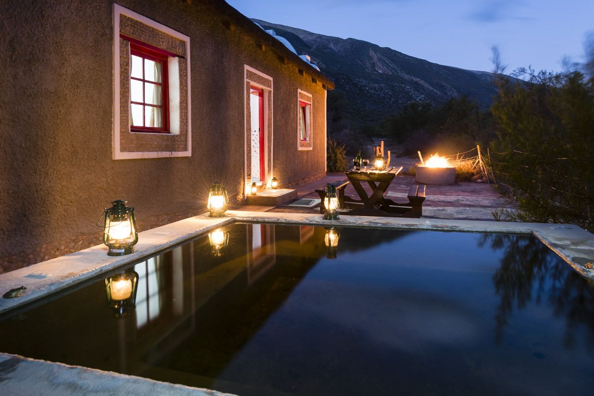
Swartberg Nature Reserve (Die Hel)
Swartberg Nature Reserve lies between the Great Karoo and Klein Karoo, forming a narrow but long stretch of 121 000ha. The reserve was declared a World Heritage Site in 2004 and is bordered by Gamkapoort Nature Reserve immediately to the north (8 000ha) and Towerkop Nature Reserve immediately to the west (51 000ha).

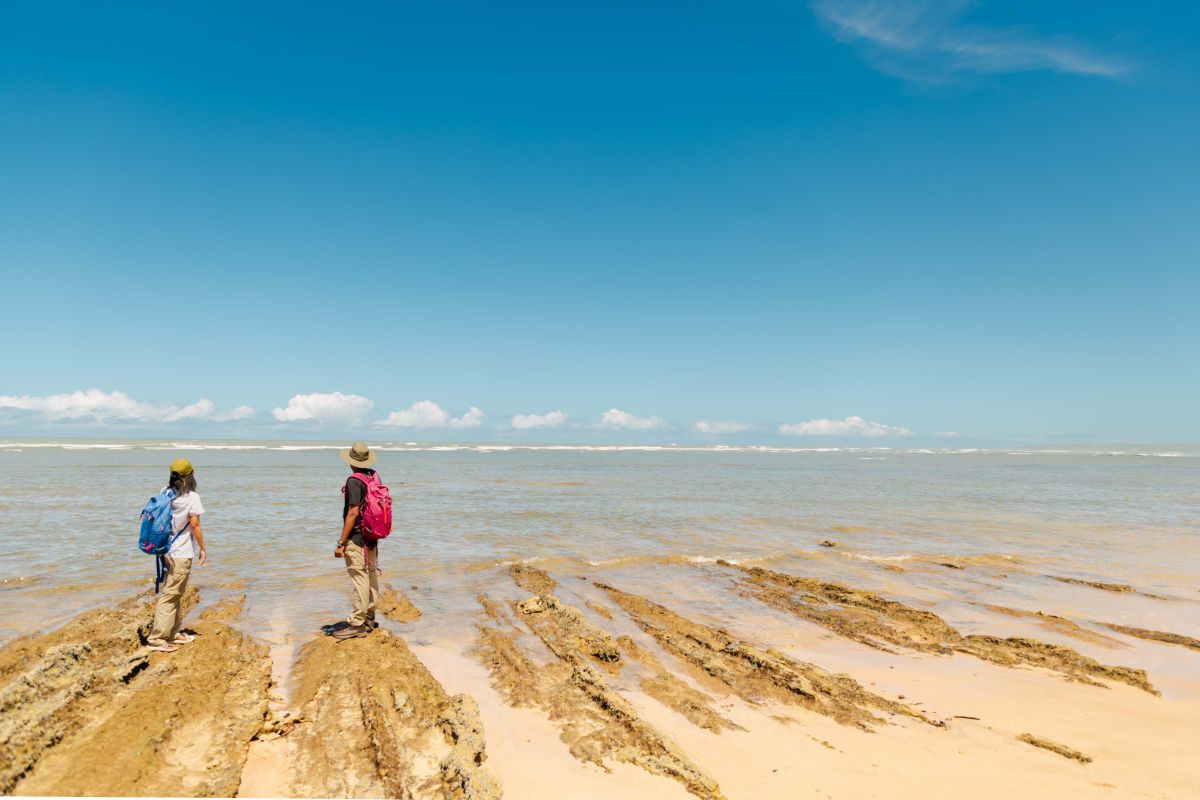
Geelkrans Nature Reserve
Nestled on the eastern side of Stilbaai, Geelkrans Nature Reserve beckons travellers with its breathtaking coastal beauty. Adventurous souls can explore the reserve via coastal hikes, revelling in dynamic sandstone cliffs and extensive intertidal zones. Scenic wooden decks provide perfect spots for picnics and taking in the picturesque views.

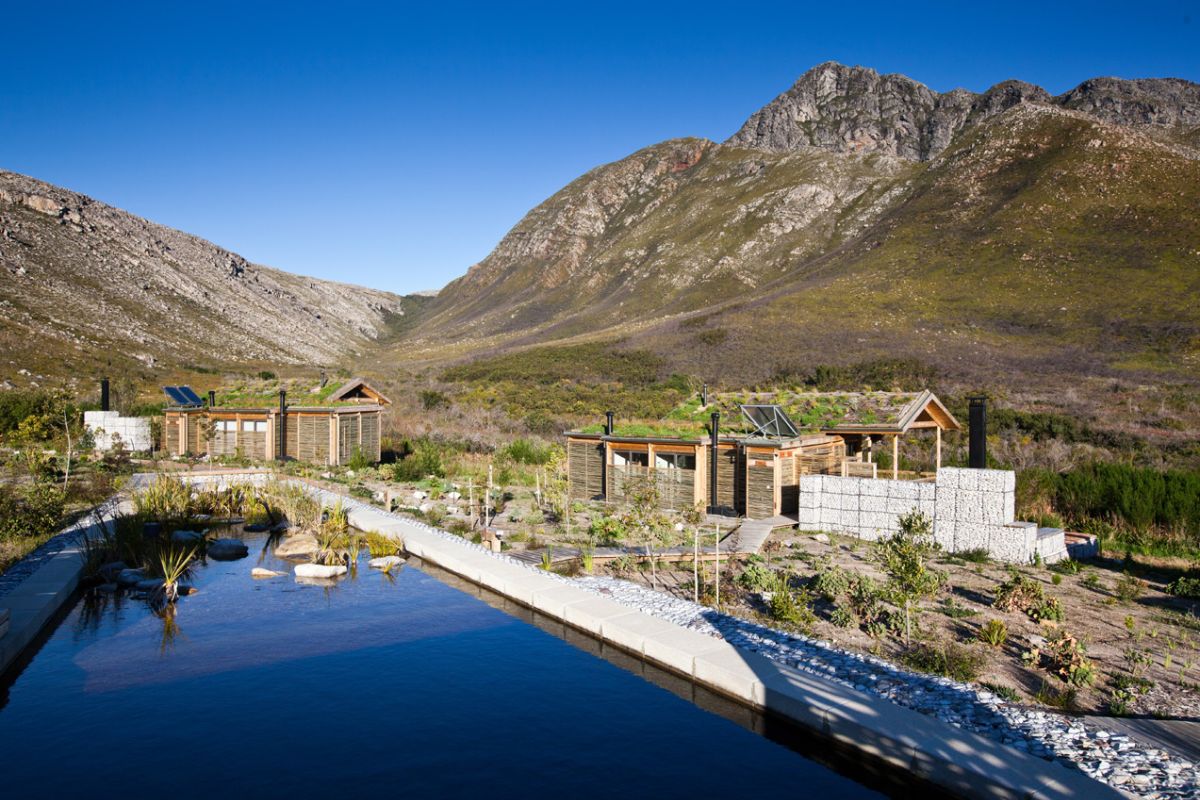
Kogelberg Nature Reserve
Considered by many to be the most beautiful of CapeNature’s protected areas, Kogelberg Nature Reserve earns that reputation largely to the fact that it occupies an area with minimal human interference. Its exceptional diversity and quality of fynbos means it is considered the heart of the Cape Floral Kingdom. The reserve presents perhaps the finest example of mountain fynbos in the Western Cape and is a world-renowned World Heritage Site.