Conservation work we do
Protected areas and stewardship
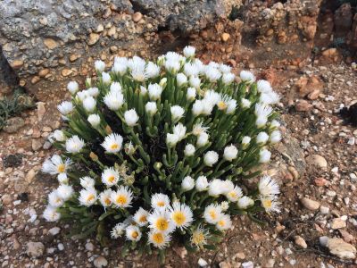
CapeNature’s protected areas are important for conserving ecosystems and species, as well as for socioeconomic upliftment through job-creation opportunities, particularly in rural areas. They serve to protect the ecosystems that deliver important related services to people.
CapeNature manages 16 nature reserve complexes, comprising a total of 659 792ha, which includes 42 739.31ha of marine protected areas. Eleven Protected Area Complex Management Plans have been approved to date, with three new management plans for the Swartberg Nature Reserve Complex, Langeberg Nature Reserve Complex and the Knersvlakte Nature Reserve approved by the CapeNature Board in March 2020. Protected areas managed by CapeNature are of extremely high biodiversity conservation value.
Integrated catchment management
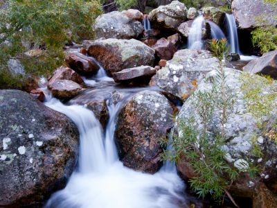
Several initiatives have been established to mitigate increasing impacts on the Western Cape’s freshwater ecosystems. Concerning the protection of certain ecosystem services provided by freshwater ecosystems for water provision for instance, focus has shifted to improved and informed management and protection of the strategic water source areas for both ground and surface water. Paired with this are the projects and initiatives associated with the Greater Cape Town Water Fund (The Nature Conservancy, 2018) and other water fund catchments that are being considered.
Marine protected areas
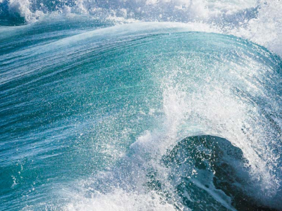
Marine protected areas (MPAs) aim to conserve marine life and promote the conservation and effective management of biodiverse marine areas. They are an example of successful collaboration between civil society, communities and government to take care of our natural resources, particularly our marine resources. CapeNature currently manages six MPAs on behalf of the National Department of Forestry, Fisheries and the Environment: Oceans and Coast, namely Robberg, Goukamma, Stilbaai, De Hoop, Betty’s Bay and Rocherpan.
The area connects to the land-based Geelkrans Nature Reserve, which ensures that the coastal zone is well protected. The area, managed by CapeNature, is protected to rebuild overexploited marine life, particularly reef/line fish. It also prevents habitat degradation and preserves historical fish traps, which are archaeologically and culturally important.
Terrestrial ecosystems and biomes
Ecosystems are dynamic complexes of plant, animal and microorganism communities and their non-living environment, interacting as a functional unit. They can be defined at different scales, from a single vegetation type, community of plants or cluster of vegetation types to a wetland or group of wetlands or an entire range of mountains. Groups of ecosystems with common bioclimatic characteristics at a landscape scale are called biomes. The Western Cape is home to the Cape Floral Kingdom, redefined as the Greater Cape Floristic Region, to include the whole winter rainfall area in South Africa (the Cape Floristic Region, or fynbos, and the Succulent Karoo biome).
The province is home to two (or 6%) of the of the world’s 34 biodiversity hotspots, five (or 55%) of the nine biomes found in South Africa and 163 (or 37%) of the 435 vegetation units of South Africa.
Ecological monitoring
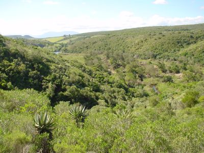
Ecological monitoring is an extremely important part of CapeNature’s conservation work. CapeNature’s ongoing frog-monitoring projects, for example, have been in place for almost two decades.
These projects focus mainly on moss frogs (genus Arthroleptella) in order to provide data on population status and geographical distributions for conservation status assessments. These projects also serve to monitor the response of these and other frog species to environmental threats such as climate change and shorter-term impacts such as increased fire frequency.
Biodiversity planning and mainstreaming
The Western Cape Biodiversity Spatial Plan (BSP) is a product of CapeNature and the Department of Environmental Affairs and Development Planning and represents a nationally endorsed approach to conservation planning. The BSP is a spatial tool (a set of maps) identifying priority areas for biodiversity and ecological infrastructure. It is accompanied by a handbook with contextual information and land-use guidelines.
The current BSP was finalised in 2017 and is due to be updated on a five-year rotational cycle.
Land Use Planning and Development Applications
CapeNature is the statutory custodian of biodiversity in the Western Cape and commenting authority concerning potential impacts on biodiversity, ecological infrastructure and processes. Our comments only pertain to the biodiversity related impacts of development applications. The effective management of biodiversity is a requirement in terms of Section 41 (a) of the National Environmental Management: Biodiversity Act (Act No. 10 of 2004)