World Oceans Day 2024 - understanding our impact on the ocean
By Pierre de Villiers, Senior Manager, Marine and Coasts Operations
The link between oceans and the land is often not well understood. People describe the ocean as that massive water space out there. Little do they know that where they live and how they live actually impacts on this ocean, so much so that they, in their small way, can contribute to a healthy ocean or a polluted ocean.
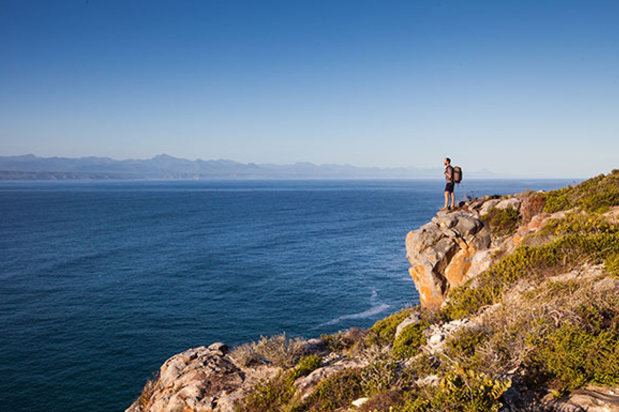
The ocean is known to provide up to 80% of the moisture that eventually falls onto the land surfaces in the form of rain. Changes in ocean currents and ocean storms result in immediate changes in rainfall on the land, e.g. floods and droughts. When this rain does fall, it flows down gullies initially and eventually finds its way into streams and rivers which all flow down to the ocean. Every single space on land that gets wet during a storm is linked eventually to the ocean. A mountain may provide small rock particles that eventually become sand particles on a beach. A forest may provide leaf litter that will stain the flowing water black and create a dark plume of nutrients in the ocean where it enters the sea.
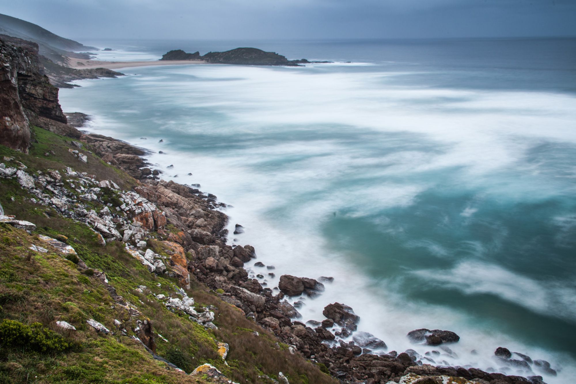
The interactions from mountain catchment, rivers, wetlands to the coast and finally the ocean have been taking place for millions of years. They have resulted in the beautiful landscape you see now. They have also resulted in the characteristic near shore areas with beautiful kelp forests on rocky reefs and vast sandy beaches. The critical link between the catchments including the lands between the rivers and the ocean are the estuaries. These ecosystems form ever changing habitats that are totally dependent on freshwater inflows during the rainy season as well as the inflow of seawater when the estuary mouth opens.
The species that inhabit estuaries are adapted to live in changing salinities (salt level in the water) as well as changing water temperatures. Under natural conditions, floods result in the water level in estuaries rising and this eventually scours open the mouth. The rising water level can take from months to days depending on the rainfall and freshwater inflow into the estuary. As the water level rises it becomes fresher. When the mouth bursts open this mixed water pours into the ocean and deposits nutrients and sand in the near shore area. These form products critical to the ocean. This plume of relatively fresh water in the ocean also attracts ocean species that use an estuary as part of their life cycle. These species "smell" this water and travel far distances to enter the open estuary mouth. Many marine fish larvae enter the estuaries in this way. Estuaries form safe havens rich in food for the growing juvenile fish. They and other species like them will grow up in an estuary and go back out to sea to breed at a future date when the estuary mouth opens again. Nature and its survival is lined to these natural rhythms.
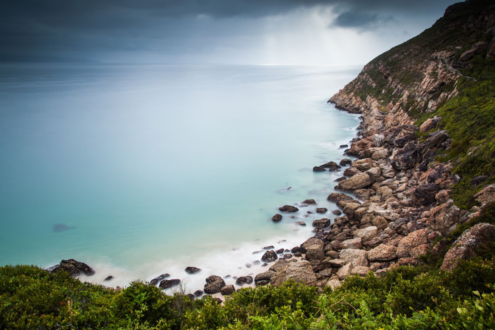
Humans use water for irrigation, industry and for use in their homes. Dams have been built on rivers and sometimes as much as 50% of the available freshwater runoff is used before it reaches the estuary or ocean. The ocean was initially providing moisture in the form of rain that flowed over the land gathering essential particles to take back to the ocean again. This has now been interrupted by dams and pipelines. Freshwater flows have now been calculated by specialists in the form of an ecological reserve, This study works out how much water can be used by humans and how much is needed to sustain the aquatic ecosystems from the rivers to the ocean. It is critical from a conservation perspective to monitor these flows and the resulting water quality in the estuaries to make sure this is taking place. CapeNature has trained estuary monitoring teams supported by partners, who monitor estuaries on a monthly basis. Sometimes during critical times monitoring is more regular. Specific mouth maintenance management plans have been developed to allow managers to open the estuary mouth if specific triggers are reached. These triggers are calculated by specialists with the aim of allowing for the connectivity between the catchment and the ocean despite the use of water upstream.
This is critical work carried out by a few dedicated officials. reporting is to managers who then need to make decisions and implement these with the aim of conserving our valuable natural heritage and functional catchment, estuarine and ocean ecosystems.


