
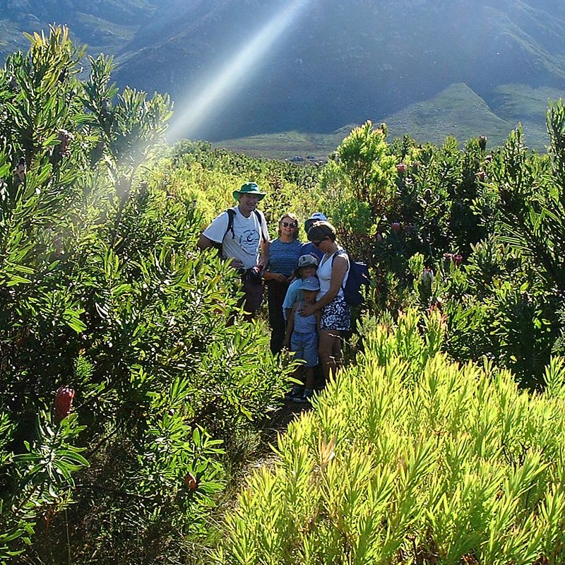
Visit our Reserves
We have 27 reserves for you to visit and enjoy. Use the map to browse and click on the reserve of your choice.
Where to stay
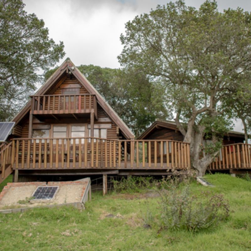
Self-catering
Read more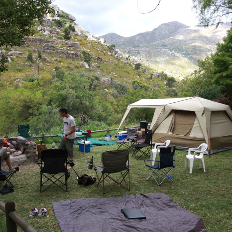
Featured accommodation


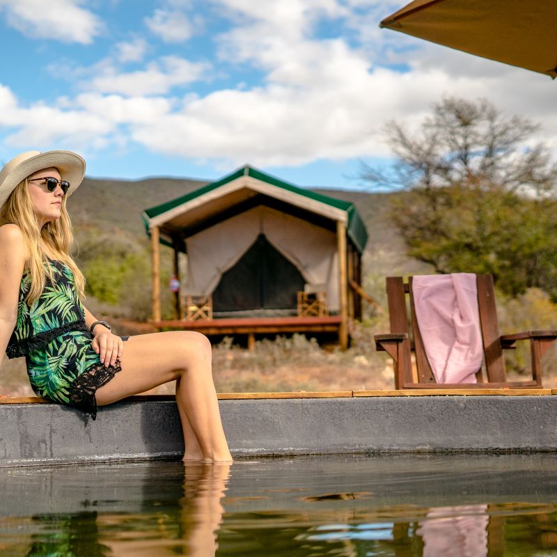
Featured eco-venues


Featured news

Rare Visitors to Bird Island
Bird Island became one of the West Coast’s favourite Birding spots during the festive period of December 2023 to January 2024.

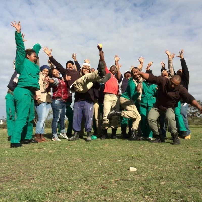
CapeNature honours its firefighters ahead of International Firefighters' Day
On 30 April 2024, CapeNature hosted a firefighters appreciation event at Assegaaibosch Nature Reserve to honour the brave men and women who were on the frontlines during the Western Cape’s fire season.

Get CapeNature’s 40% winter discount on your next getaway!
Pack your bags, grab the essentials and head towards one of CapeNature’s pristine reserves for your next winter holiday, and take advantage of our spectacular 40% saving on select self-catering accommodation and campsites.

Collaborative Conservation benefits the Stony Point African Penguin Colony
In the heart of Betty’s Bay lies the Stony Point African Penguin colony, a critical breeding ground for these beloved seabirds. This colony has become a beacon of hope thanks to the collaborative efforts of several key partners: CapeNature, SANCCOB, Dyer Island Conservation Trust (DICT)/African Penguin and Seabird Sanctuary (APSS), World Wide Fund for Nature (WWF-SA), and the Kogelberg Biosphere Reserve. Together, these entities have implemented an integrated programme that has positively impacted the local penguin population.

Another first for the Cape mountain zebra genetic rescue project
The Cape mountain zebra known as GB42 has had an exciting year! In January, this stallion from Gamkaberg Nature Reserve sired a foal with genetic material from two of the three genetically distinct stocks of the species. In March, there was proof that 2023 was a busy year for GB42 after a second foal was born with genes from all three stocks.

More Reserves Added to the CapeNature Mobile App: Adventure Awaits!
What does this mean for you? More destinations to travel to and explore at the ease of your fingertips! CapeNature is making local travel an easier with the latest update to our visitor mobile app!


Events Calendar

World Wetlands Day 2024
World Wetlands Day 2024
Access Week 2023
Access Week 2023
Tourism Month Panel Discussion
Tourism Month Panel DiscussionFeatured reserves

Assegaaibosch Nature Reserve
Assegaaibosch is a small nature reserve in the Jonkershoek valley. It is about 9km from Stellenbosch, and 204 hectares in size. The reserve lies next to the Eerste River, which forms the northern boundary and extends up the north-eastern slope of Stellenbosch Mountain.

Cederberg Wilderness Area
The Cederberg was proclaimed as a Wilderness in 1973. The 66811 ha of mountainous terrain is located in the Cape Floral Region only three hours outside Cape Town, but it feels like a different world.

Rocklands in the Cederberg
The Rocklands area forms an integral part of the Cederberg Wilderness and is also proclaimed as a World Heritage Site. Rocklands also includes the areas at CapeNature’s Kliphuis, and partner properties at de Pakhuys, Traveller's Rest, Agter Pakhuis and Kleinfontein. It is a world famous bouldering destination with the bouldering season lasting from 30 April to 01 October every year.